Hiking around Bergen: Fløyen, Ulriken, the 7 mountains, and Stoltzekleiven
Bergen: Fjord Hiking
Where is the best hiking from Bergen city center?
Mount Fløyen (320 m) is the most accessible — take the Fløibanen funicular up and hike down in 45 minutes, or walk up Stoltzekleiven stairs in about the same time. Ulriken (643 m) requires more effort but offers the best views. The 7-mountain circuit (all 7 peaks in one day, 35–42 km) is a local challenge for experienced hikers only.
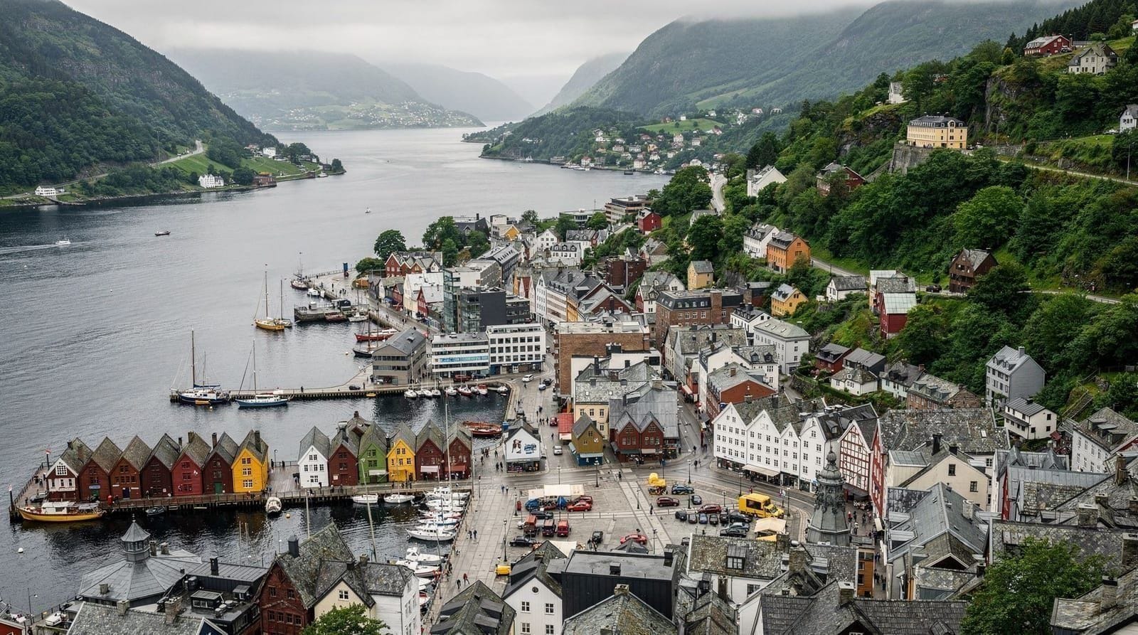
Bergen is ringed by mountains. The city sits at the bottom of seven peaks — the syv fjell, or 7 mountains — and you can reach the summit of most of them from the city center on foot in under 90 minutes. This makes Bergen one of the most accessible urban hiking destinations in Europe, and it is a genuine part of local life rather than a tourist overlay.
| Where | Fløyen (city center), Ulriken (east side), Stoltzekleiven (Sandviken) |
| Cost | Free trails; Fløibanen return (price at floibanen.no), Ulriken cable car NOK 435 return |
| Time needed | 45 min (Fløyen loop) to a full day (7-mountain circuit) |
| Getting there | On foot from Bryggen/city center; no transport needed for Fløyen/Stoltzekleiven |
| Best time | June–early October; Fløyen accessible year-round |
Why Bergen’s mountains are different
In most cities, hiking requires a trip out of town. In Bergen, you walk uphill from the city center and arrive in genuine mountain terrain within 30–40 minutes. The mountains are not alpine scale — the highest, Ulriken, tops out at 643 m — but they offer serious views, real weather exposure, and, on a clear day, sightlines across fjords and outer islands that extend 50 km or more.
Bergen’s mountains are used daily by residents for exercise, weekend walks, and the serious multi-mountain challenges that define local athletic culture. The trails are real — rocky, sometimes boggy, occasionally steep — not groomed park paths.
Mount Fløyen: the easiest and most visited
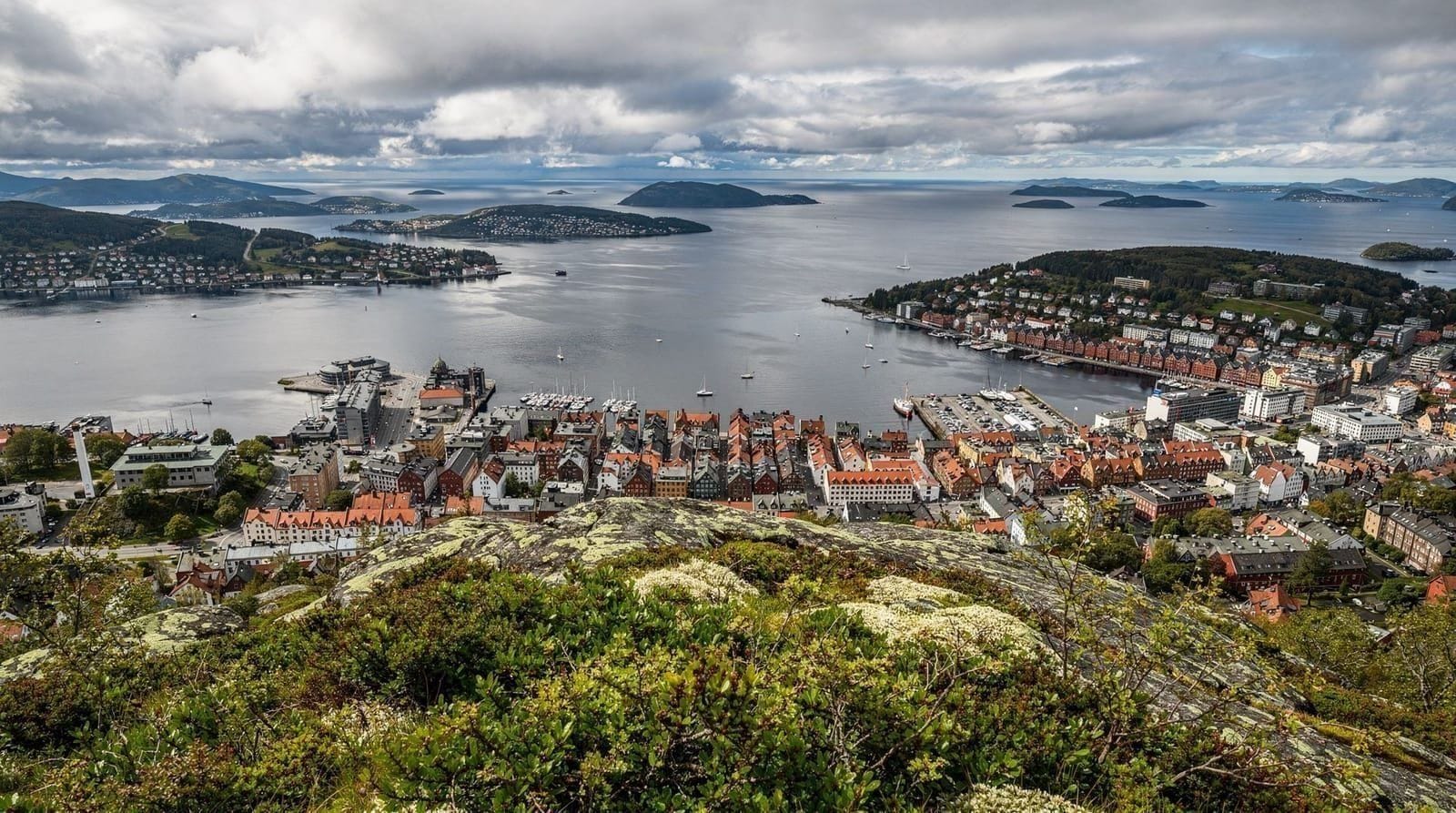
Fløyen (320 m) is Bergen’s iconic viewpoint mountain, accessible by the Fløibanen funicular from the city center in 6 minutes or on foot via several trail options. The most popular walking route up is the Fløibanen footpath (parallel to the cable car, signposted from Vetrlidsallmenning) — about 35–45 minutes of steady climbing on a well-maintained path.
Stoltzekleiven approach: A different and more challenging route to the Fløyen plateau begins with the Stoltzekleiven staircase — 861 steps cut into the Sandviksfjellet hillside north of Bryggen. This is a legitimate workout that Bergen locals use as a fitness circuit. The steps take 20–35 minutes to ascend and deliver you onto the mountain plateau, from which you can link trails to Fløyen (a further 40–60 minutes across the plateau).
At the top: Fløyen has a panorama restaurant/café (Fløistuen), a children’s troll forest (Trollskogen, genuinely fun for families), public toilets, a souvenir shop, and multiple trail junctions leading deeper into the mountain. The view from the top toward Bergen harbor and the fjords beyond is as good as anywhere in the region.
Honest note on crowds: Fløyen is Bergen’s most-visited hiking area. On summer weekday mornings before 10 am, it is peaceful. After 11 am in July, the cable car creates queues (30–60 minutes) and the plateau fills with groups. For serious hiking rather than a scenic walk, start early or choose a weekday.
Bergen: Fjord HikingUlriken: Bergen’s highest mountain
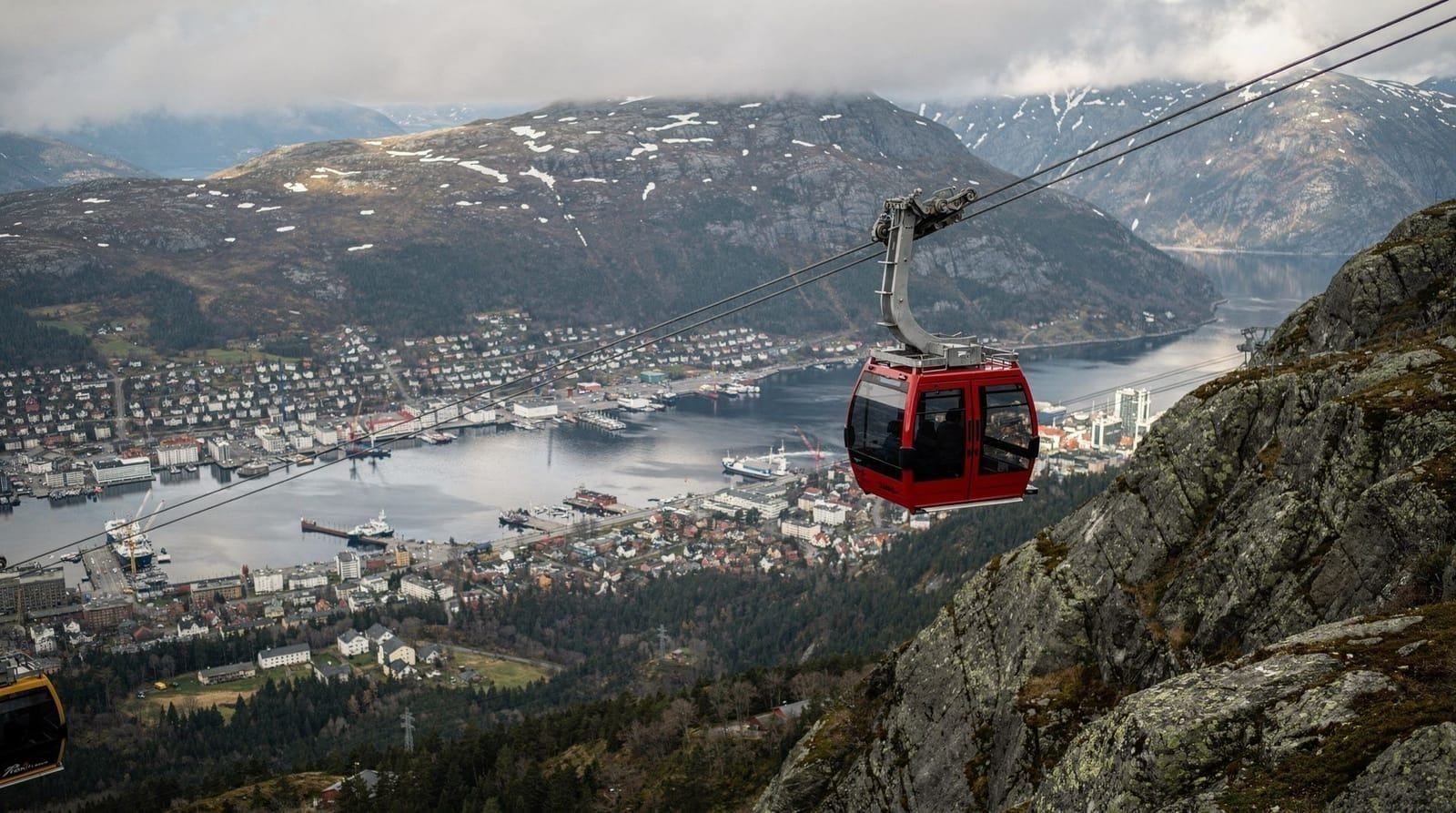
At 643 m, Ulriken is the highest of Bergen’s 7 mountains and offers the widest views — on a clear day you can see out to the offshore islands and, in excellent conditions, all the way to Hardangerfjord. The Ulriken cable car (Ulriksbanen) takes you to the summit in 7 minutes; hiking up takes approximately 1.5–2.5 hours depending on route.
Hiking routes up:
- From the Ulriken cable car base station: The marked trail alongside the cable car line climbs steeply through birch forest and open heath. It is well-marked but demanding — the gradient does not relent.
- From Fanafjell/Haukåsen: A longer, more gradual approach from the south, suited to hikers who want a proper multi-hour route.
The Ulriken–Fløyen ridge traverse: From the Ulriken summit, a ridge trail runs southwest toward Rundemanen and eventually connects to Fløyen. This traverse (approximately 3–4 hours one-way) is a classic Bergen mountain walk — varied terrain, continuous views, and a natural descent to Bergen via Fløyen’s funicular. Do this from Ulriken toward Fløyen (cable car up, funicular down) to have the cable car assist the hardest part.
The Ulriken guide covers the cable car and summit area in detail.
Stoltzekleiven: Bergen’s stair workout
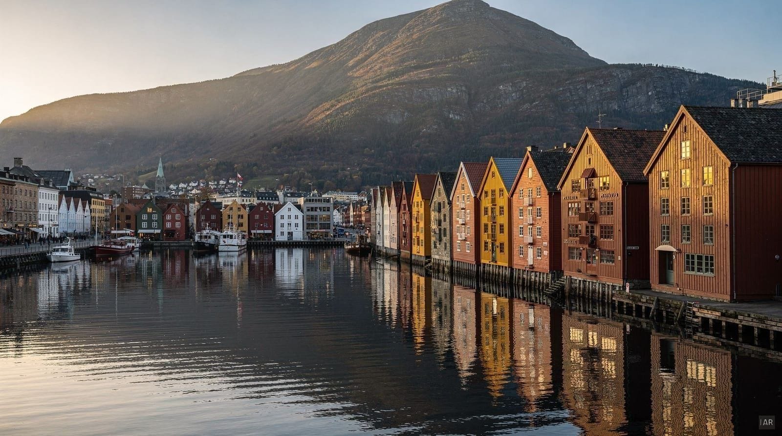
Stoltzekleiven is worth treating as its own experience rather than just a route component. The 861 steps rise from the Sandviken neighborhood (north end of Bryggen) to a viewpoint at Rødkleiv — approximately 20–35 minutes of continuous stair climbing that Bergen residents use as their standard fitness challenge.
Access: Walk north through Bryggen and Sandviken to the Sandviken church area. The Stoltzekleiven staircase is signposted. Early morning on weekdays is the local workout crowd; weekends in summer bring more tourists.
What’s at the top: The Rødkleiv viewpoint area opens onto the Sandviksfjellet plateau with views south over Bergen harbor. From here, trails continue to Sandviksfjellet summit (515 m) and east toward Rundemanen or south toward Fløyen. The round trip from Sandviken via Stoltzekleiven up, across to Fløyen, and down the Fløibanen footpath is a classic Bergen half-day walk (4–5 hours total, 800 m elevation gain).
The 7 mountains (Sjøvarden til Sjøvarden)
The 7-mountain circuit is Bergen’s equivalent of a marathon — a rite of passage for locals and an extreme challenge for visitors. The route connects all seven peaks (Lyderhorn 397 m, Damsgårdsfjellet 318 m, Løvstakken 477 m, Ulriken 643 m, Fløyen 320 m, Sandviksfjellet 515 m, Rundemanen 568 m) in a continuous circuit of 35–42 km with approximately 3,000 m cumulative elevation gain.
Realistic assessment: Strong hikers who regularly do 30+ km days complete this in 10–14 hours. Most people attempting it for the first time need 14–18 hours. The Bergen 7-fjell charity walking event is held annually in late September and has participants of all levels completing it over 24 hours. Solo attempts in poor weather conditions by inexperienced hikers are genuinely dangerous.
Starting points: The traditional start is at Lyderhorn (western end) or Ulriken (central, can use cable car for the first peak). The route can be done in either direction.
Navigation: The trail is mostly marked but not always well marked. A GPS track downloaded from Ut.no (the Norwegian trekking association app) is essential. Paper maps as backup. Mobile signal is intermittent on higher sections.
Season: June through early October for reasonable conditions. After October, snow and ice make several sections dangerous without crampons and experience.
Bergen: Guided Mountain Hike on Top of BergenGuided hiking options
Guided hiking tours from Bergen are available for visitors who want expertise and local knowledge. These range from introductory Fløyen walks with commentary on Bergen’s history and culture to more demanding ridge traverses of multiple peaks.
When guides are worth it:
- Winter hiking above 400 m (ice conditions, limited daylight, navigation)
- The 7-mountain circuit (guide provides pacing, route knowledge, and emergency response)
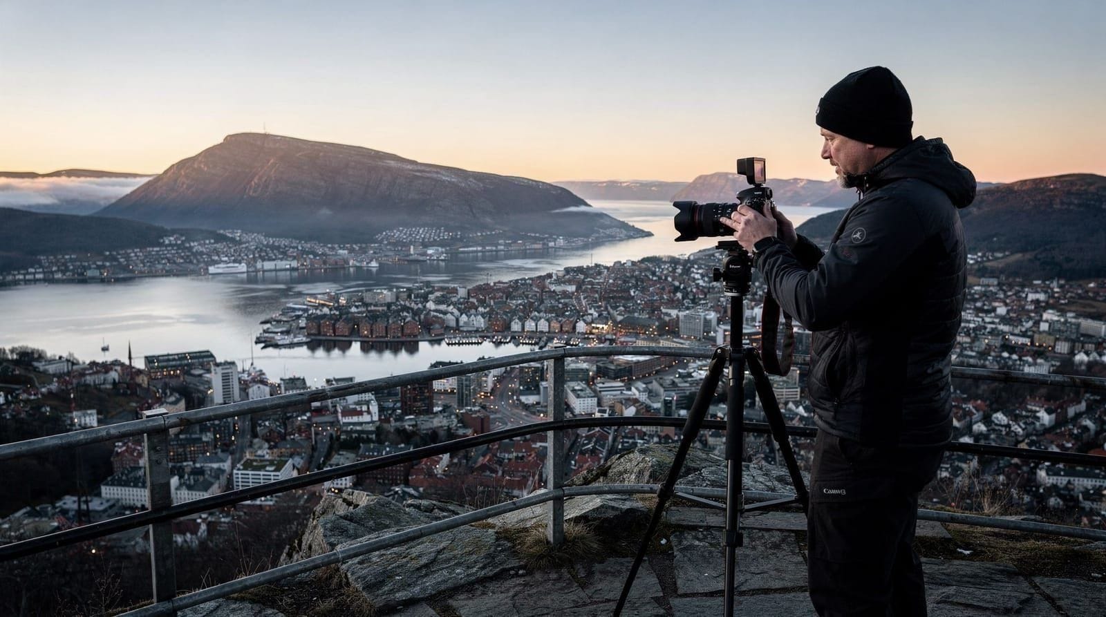
- Photography-focused tours (guides know the light and timing)
- Visitors who want cultural context alongside the physical experience
For Fløyen in summer, a guide is a choice rather than a necessity — the trails are well-marked and well-populated.
Winter hiking in Bergen
Bergen’s mountains are accessible in winter but genuinely different. Trails above 400 m are typically icy from November through March. The Fløibanen footpath is maintained and accessible; the upper plateau paths and Ulriken above 400 m require microspikes or crampons.
Night hiking: Bergen has active night hiking culture — organized headlamp hikes in winter are a regular local activity and available to visitors through guided tours. The Bergen winter night hike with headlamps tour is one of the better visitor-oriented versions.
Daylight reality: December and January give Bergen only 5–6 hours of daylight. Any winter hike above 400 m should start by 10 am and plan to be descending by 2–3 pm. The sky darkens fast.
Bergen Winter Night Hike with Headlamps | ViFlowExperiencePractical preparation
What to bring:
- Waterproof jacket and waterproof trousers (Bergen rains ~230 days/year — rain is not a reason to cancel, but preparation is not optional)
- Warm mid-layer (summit temperatures can be 5–10°C cooler than city)
- Hiking boots or trail shoes with grip (not street shoes or sandals)
- 1.5–2 litres of water (no reliable water sources on most routes)
- High-energy snacks
- Map or downloaded GPS track (especially for routes beyond Fløyen)
- Phone power bank for long routes
What to leave at the hotel: Suitcases, formal shoes, expectations of alpine scenery. Bergen’s mountains are moorland and birch forest, not dramatic rock faces — the drama is in the views outward, not the terrain itself.
Dogs: Dogs are permitted on all Bergen mountain trails. Keep on lead when near other hikers or during wildlife nesting season (April–June).
Children: Fløyen (via funicular and flat plateau walks) is suitable for all ages. The Stoltzekleiven stairs are manageable for older children (8+) but challenging for younger ones. Ulriken above the cable car requires secure footing for children. The 7 mountains is not appropriate for children.
Trail conditions by season
Bergen’s mountain trails change character across the year — worth knowing before you commit to a route:
| Season | Trail conditions | Best routes |
|---|---|---|
| May–June | Drying out from snowmelt, boggy patches, long daylight | Fløyen, Ulriken, Stoltzekleiven |
| July–August | Driest, most crowded, warmest | All routes, including the 7-mountain circuit |
| September | Cooler, quieter, stable weather windows | Fløyen–Ulriken traverse, Stoltzekleiven |
| October | Increasing rain, shortening daylight, first high snow | Fløyen only (lower elevation) |
| November–March | Ice above 400 m, short daylight (5–6 hrs) | Fløibanen footpath (maintained); avoid Ulriken and the ridge without crampons |
| April | Transitional, variable snow line | Fløyen; check conditions on ut.no before Ulriken |
Guided vs. self-guided: an honest comparison
Most visitors hiking Fløyen or the Stoltzekleiven stairs in summer do not need a guide — the paths are well-marked, well-populated, and short enough that getting seriously lost is unlikely. Where a guide earns its price is the terrain above 400 m outside the core summer window, or routes where local knowledge changes the experience meaningfully: the 7-mountain circuit, winter ridge conditions, and night hikes where route-finding in darkness is genuinely harder than it looks on a map.
Self-guided works well for: Fløyen (funicular or on foot), Stoltzekleiven, the Ulriken cable car and immediate summit area, June–September conditions generally.
A guide is worth the cost for: the 7-mountain circuit (pacing and emergency response matter over 10+ hours), any hike above 400 m from October to April, and the winter night hike with headlamps — Bergen’s dark winter evenings make solo route-finding on unfamiliar plateau terrain a real risk rather than a minor inconvenience.
Connecting Bergen hiking to the wider region
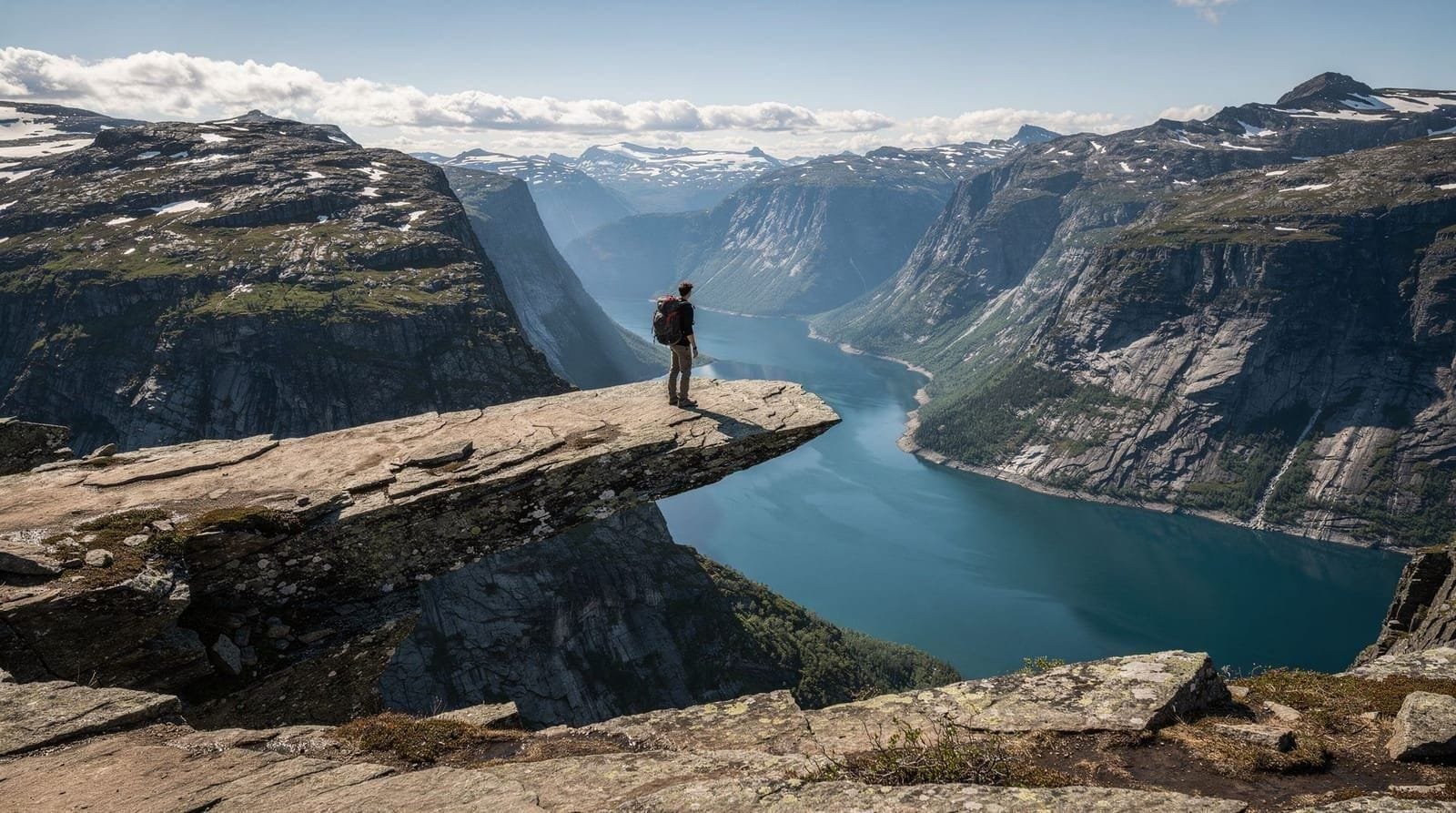
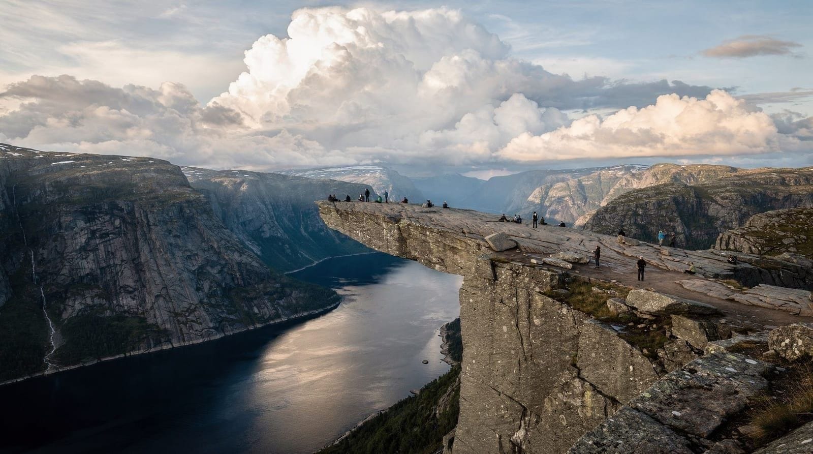
Bergen’s mountains are day hikes from the city — easy to slot into a Bergen trip without dedicated hiking logistics. For more serious multi-day or single-day demanding hikes, the guide to Trolltunga (3.5 hours from Bergen, genuinely demanding) and Preikestolen (4–5 hours from Bergen, more accessible but still a full day) cover the two regional hike marquee experiences.
The Bergen destination page includes context on getting around and the neighborhoods closest to the mountain trailheads. For full day-trip structure, the western Norway 7-day itinerary builds hiking days alongside fjord days for a balanced trip.
Frequently asked questions about hiking around Bergen
How long does it take to hike up Mount Fløyen without the funicular?
The main footpath from Vetrlidsallmenning to the Fløyen summit takes 35–50 minutes for a fit adult. Stoltzekleiven (different approach, via Sandviken) takes 20–35 minutes for the stair section, then additional trail time to reach Fløyen.
Is there a trail from Ulriken summit to Fløyen?
Yes — the ridge traverse connecting Ulriken, Rundemanen, and Fløyen is approximately 3–4 hours one-way and requires competent navigation. The route is marked but not always obvious. Download the GPS track from Ut.no before attempting it.
What shoes do I need for Bergen mountain hiking?
For Fløyen in summer: trail shoes or walking shoes with grip are sufficient. For Ulriken or multi-mountain routes: proper hiking boots with ankle support are recommended. For any mountain above 400 m in winter: waterproof boots plus microspikes or crampons.
Is there a swimming spot near the Bergen mountains?
Yes — Store Lungegårdsvannet (lake in the city center) and the outdoor pool at Fløyen are options. Svartevannet lake on the Fløyen plateau is swimmable in summer (bring swimming gear if you plan a swim after a hike).
Can I take the Ulriken cable car up and walk down to Fløyen?
Yes — this is a good approach. Cable car to Ulriken summit, ridge traverse to Fløyen (3–4 hours), Fløibanen funicular down to Bergen. One-way pricing on both systems. Budget a full day for this traverse.
Are Bergen’s mountain trails accessible in wet weather?
Yes, with proper gear. The trails are regularly wet (Bergen’s rain is a given) and rocky sections can be slippery. Grip from proper footwear is important. The Fløibanen footpath is manageable even in heavy rain. Higher routes (Ulriken, ridge traverses) become more demanding in wet conditions.
Is there toilet access on Bergen’s mountain trails?
Fløyen summit has public toilets near the restaurant. Ulriken cable car summit has facilities. On open trail, there are no facilities. Plan accordingly for longer routes.
Do I need to book Bergen mountain hikes in advance?
The trails themselves need no booking — they are free, open, and unticketed. What sells out is the transport: the Fløibanen funicular and Ulriken cable car both queue heavily on July afternoons, and guided options like the 7-mountain circuit hikes or winter night hikes should be booked a few days ahead in peak season.
Top experiences
Bookable activities with verified prices and instant confirmation on GetYourGuide.